
Service overview
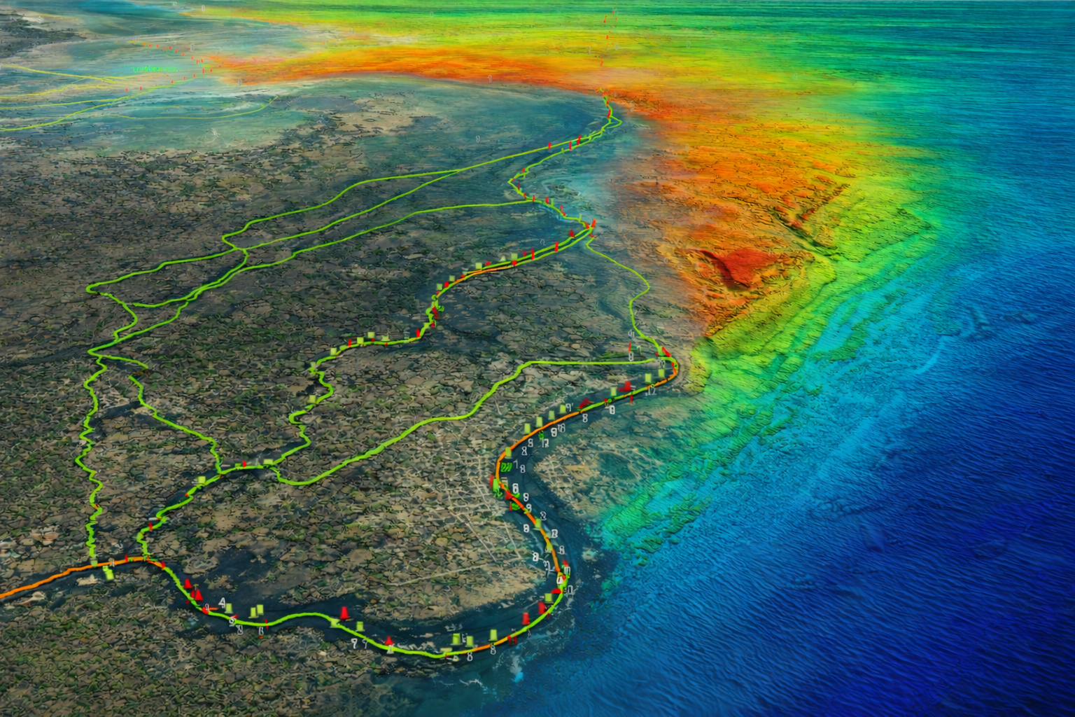
Specializing in high-resolution bathymetric mapping for marine navigation, CMOR Mapping has established itself as a leader in creating detailed seafloor charts designed specifically for anglers and divers. The company produces game-changing 3D relief shading maps that transform how boat owners navigate and locate fish-holding structure, offering resolution as fine as one meter—meaning each pixel on screen represents a single square meter of ocean floor.
More about CMOR Mapping
Specializing in high-resolution bathymetric mapping for marine navigation, CMOR Mapping has established itself as a leader in creating detailed seafloor charts designed specifically for anglers and divers. The company produces game-changing 3D relief shading maps that transform how boat owners navigate and locate fish-holding structure, offering resolution as fine as one meter—meaning each pixel on screen represents a single square meter of ocean floor.
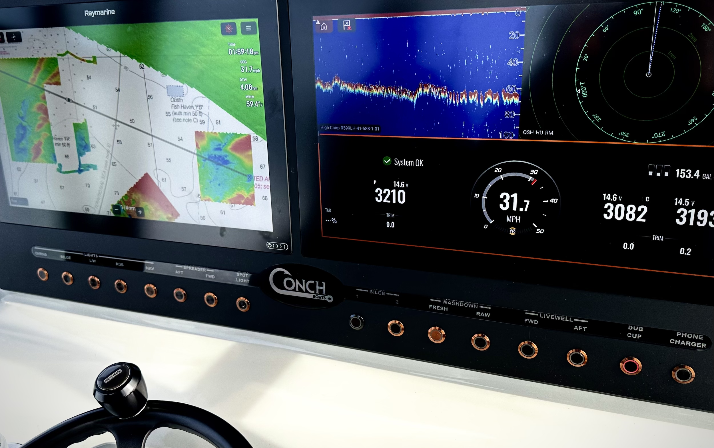
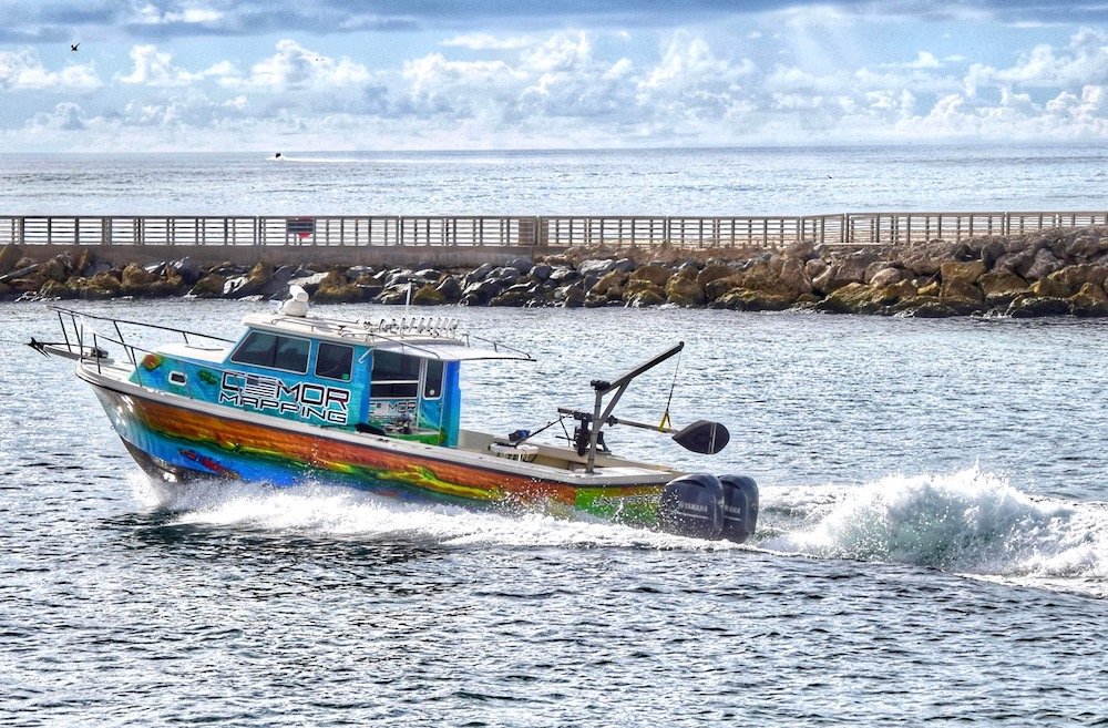
Unlike traditional nautical charts that rely on historical point soundings and sparse data, CMOR Mapping employs methodical survey techniques using high-resolution echosounders to capture complete bottom coverage. This approach reveals every ledge, coral head, sunken culvert, and contour change in unprecedented detail. The company's proprietary mapping data includes privately surveyed information unavailable on standard charts, giving fishermen and divers a significant advantage in locating productive structure and navigation hazards.
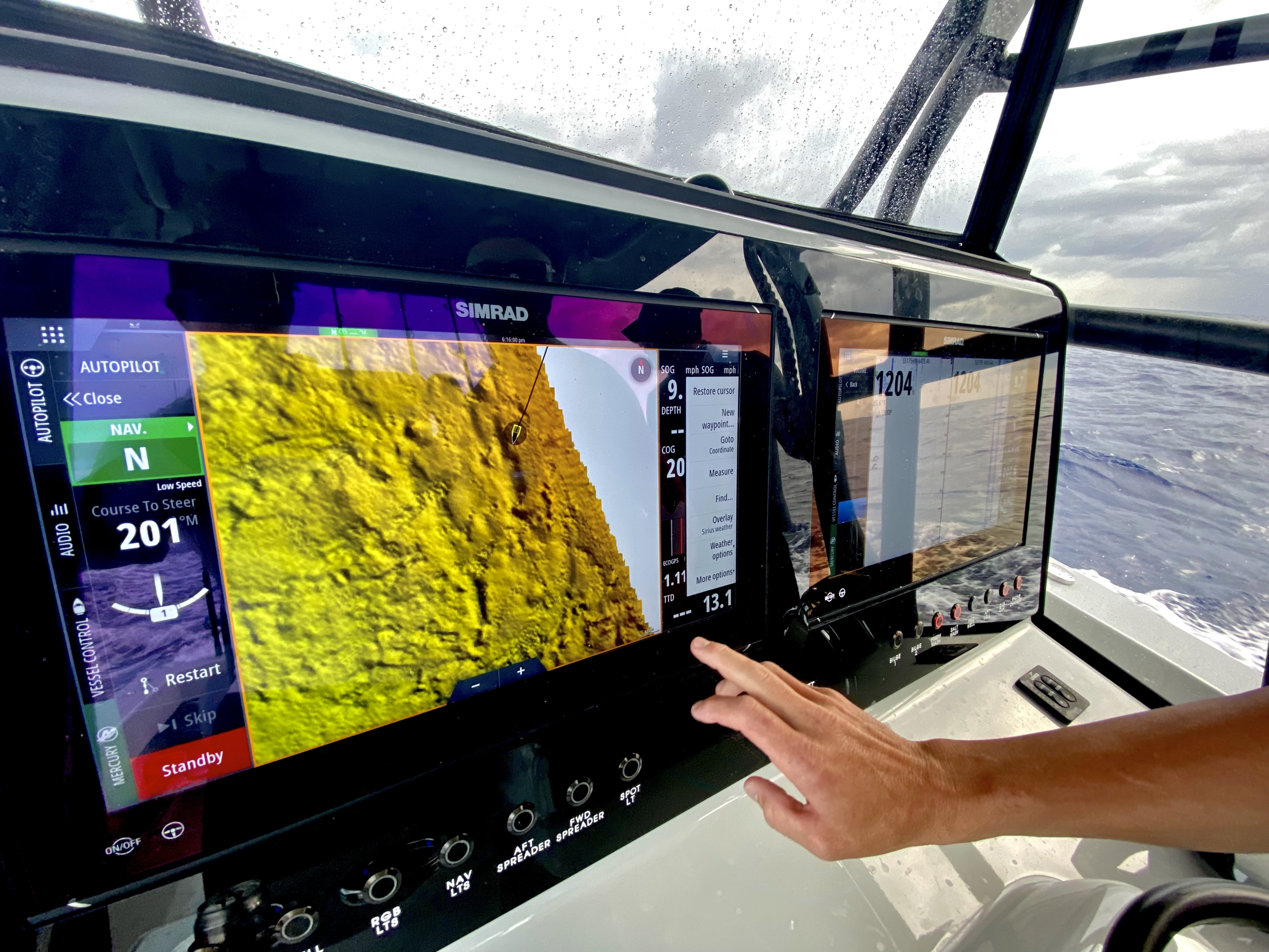
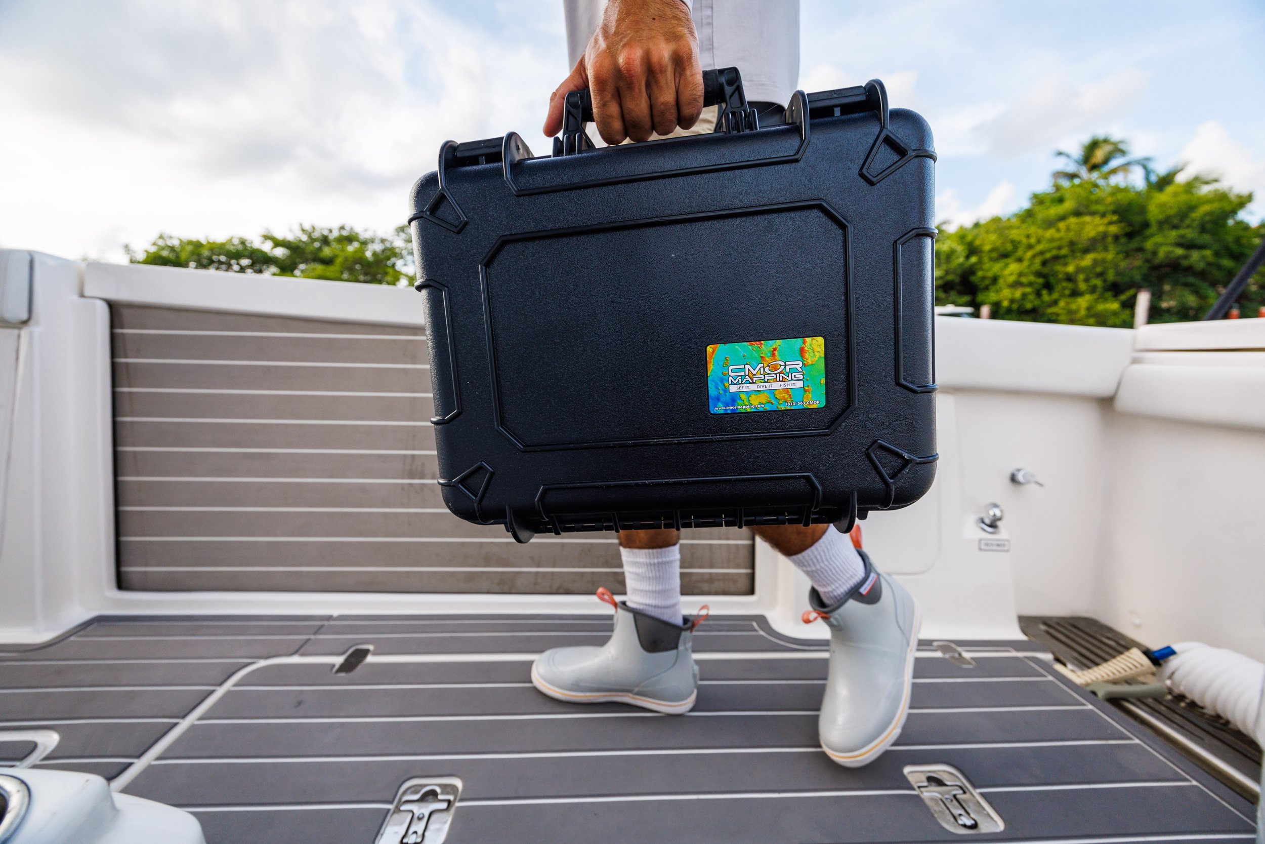
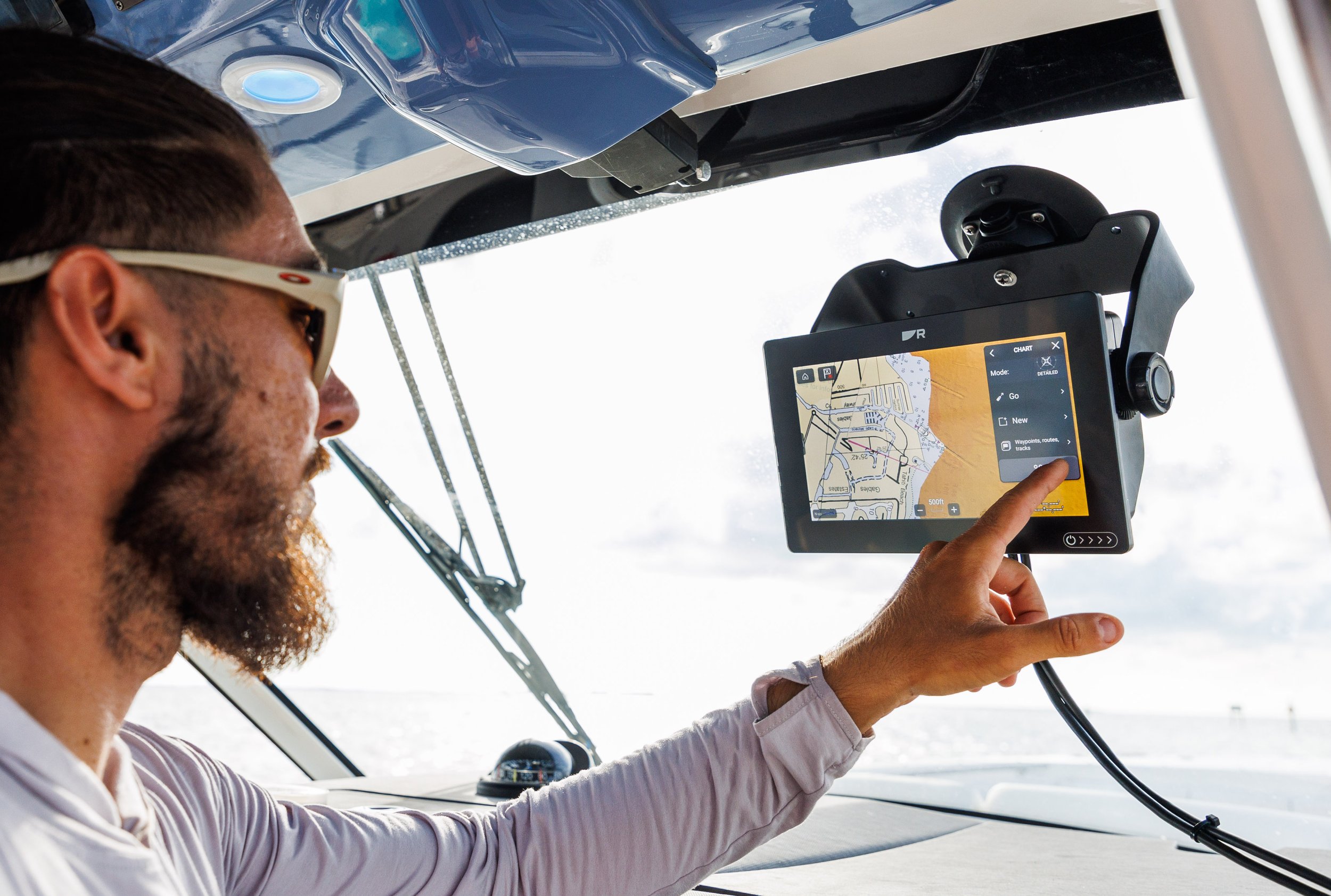
CMOR Mapping products integrate seamlessly with major marine electronics brands including Simrad, Lowrance, B&G, Raymarine, Furuno, Garmin Marine, and Mercury Marine VesselView displays. Users simply insert a CMOR data card into their chartplotter to access the high-resolution bathymetric imagery, with their vessel icon displaying exact position relative to bottom features. The company offers regional coverage cards spanning popular fishing and diving destinations, with coverage areas including the Bahamas, Florida waters, and other productive marine environments.
The mapping technology employed by CMOR Mapping brings the ocean floor into sharp focus on modern chartplotters and marine electronics displays. Anglers rely on these detailed bottom maps to identify productive fishing structure, plan drift patterns, and navigate safely around hazards. The 3D relief shading visualization makes it easy to distinguish drop-offs, channels, rocky bottom, and subtle depth changes that hold fish. Divers use the detailed bathymetric data to locate interesting underwater topography, plan dive sites, and ensure safe navigation to offshore locations.
Beyond their core mapping products, CMOR Mapping also offers custom mapping services for specific areas or applications. The company continues expanding coverage areas and updating existing charts with fresh survey data. Their NEX GEN product line represents the latest evolution in marine cartography technology, pushing resolution and detail even further. CMOR Mapping maintains an active update program, ensuring customers have access to the most current bathymetric information available.
With distribution through marine dealers nationwide and direct sales through their online platform, CMOR Mapping has become the go-to source for serious offshore anglers and technical divers who demand the most detailed bottom information available. Their unique combination of complete survey coverage, exceptional resolution, and broad electronics compatibility positions them as a specialized resource for recreational and professional mariners seeking every possible advantage in understanding underwater topography.
Services & specialties
Project gallery
Provider details
★ 5.0 / 5 · 23 reviews · Rating from Boatwork
Provider information from Boatwork. Services are offered by CMOR Mapping.